About
Values & History
Reuel Harmon Award
Timeline
Annual Reports
Board of Directors
Staff
Open Positions
Our Partners
Contact Us
Support Our Work
Join or Renew
Sustainers
Donate
Land Fund
Gift Membership
Donor Advised Fund
*New – SHOP*
Advocacy
Key Issues
No OHVs
State of the Trails
Research & Plans
Land Protection
Tour Our Projects
How We Save Land
News & Events
News
Events
Friends Groups
Meet Our Partners
Find Resources
Partner Award
Impact Report
Become a Partner
Menu
You are here:
Home
Minnesota State Trails
Glacial Lakes
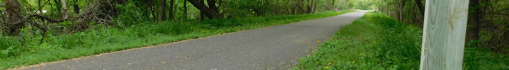
Glacial Lakes State Trail
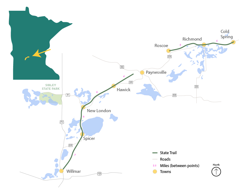
Map Overview of Trail
Google Streetview Previews (from trail termini)
From Willmar
View Full-Screen
From Cold Spring
View Full-Screen
View another State Trail
Blazing Star
Brown’s Creek
Casey Jones
Central Lakes
Cuyuna Lakes
Douglas
Gateway
Gitchi-Gami
Glacial Lakes
Goodhue Pioneer
Great River Ridge
Harmony-Preston
Heartland
Luce Line
Mill Towns
Minnesota Valley
Paul Bunyan
Root River State Trail
Sakatah Singing Hills
Shooting Star
Willard Munger