Gateway State Trail

GATEWAY STATE TRAIL

Bicyclist on paved trail approaching a bridge
Jim Schuder/P&TC photo contest
Bicyclists riding at underpass
Underpass at Co. Hwy 61 gives safe passage.
Gateway horses and bikers
The Gateway has portions with a dual track for horses and bicyclists.

About the trail

Map of MN with Gateway-Brown's Creek State Trail
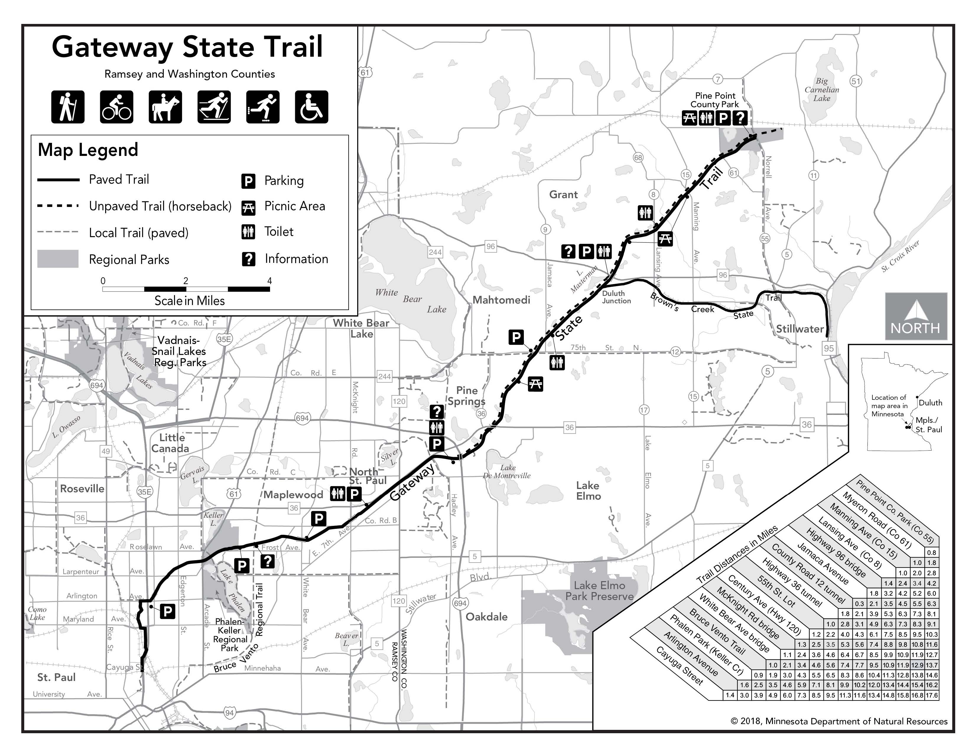
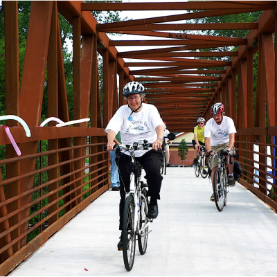
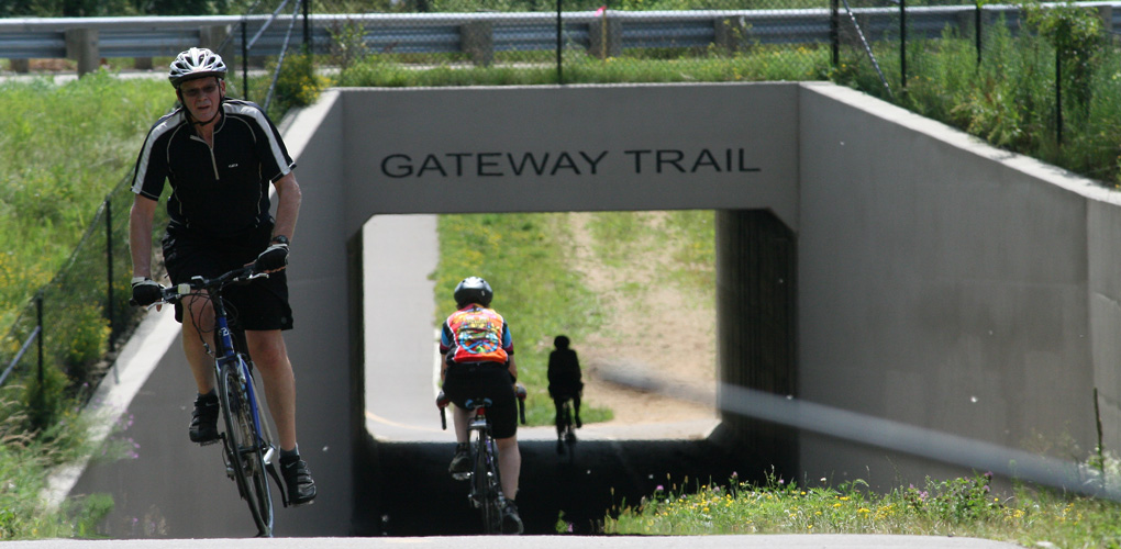
Gateway State Trail is an 18-mile trail with a southern end in St. Paul and winding through the suburbs of Maplewood and North St. Paul on through to a pastoral landscape in Mahtomedi and ending in Pine Point County Park.

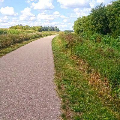
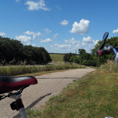
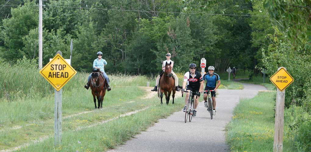
Built on a former railroad, the trail is fairly flat. Portions of the trail have a dual tread for horse riding. The Brown’s Creek State Trail branches off from the Gateway in the northern portion of the trail.

It is perhaps one of the most used trails in the Minnesota State Trail system owing to it’s location near major concentrations of people and it’s scenic landscape.

Our Work by the Numbers

PROJECTS

7

undertaken by P&TC
for this park

ACRES

43.2

of land saved
for this park

MILES

2020

of the trail
P&TC helped acquire

DOLLARS

461 K

total value of
all land projects

Trail Map (DNR map)

Map of Gateway State Trail by MnDNR

Project Stories

Planning for future extensions

We have been working to acquire land that would extend the Gateway from it’s current end point at Pine Point Regional Park, north into William O’Brien State Park and then on to the city of Scandia. Here is the list of projects we’ve acquired for that purpose.


2002-2013
4.8 acres

Located about 2,700 feet northeast of Pine Point Regional Park at 120th St N. This land was donated to P&TC.


2005-2005
23.2 acres / 2.25 miles

Perpetual easement through Amherst H. Wilder Foundation Forest, near Terrapin Lake.


2007-2008
4.6 acres / 0.5 miles

Connects William O’Brien State Park with the nearby city of Marine on St. Croix. The landowner made a $12,500 donation (1/2 of easement’s value).


2007-2010
4.5 acres / 0.25 miles

Located between William O’Brien State Park and the city of Scandia, north of Oakhill Rd N near intersection with Oxboro Ave N.


2008-2010
3.73 acres / 0.02 miles

For trail corridor to connect between downtown Scandia and William O’Brien State Park. As of 1/2017 the entire corridor has been acquired but no trail developed yet.


2009-2010
2.4 acres

This project completes the portion of the trail from Scandia to Larsen Meadows.

Initial land & landmark case for trails

1980
10 miles

On January 23, 1980 the Interstate Commerce Commission authorized the abandonment of a little-used section of the Soo Line Railway on the condition that any future use be publicly accessible. A local community group now known as the Gateway Trail Association quickly formed and began working with the Minnesota Department of Natural Resources (DNR) and the Minnesota State Legislature to convert the railway into a recreational trail.

It didn’t take long before several abutting property owners organized in opposition to the trail and engaged the state in a bidding war for the purchase of the abandoned railway. Recognizing that the state was legally bound to pay only the appraised value for land, the small group of property owners raised its bid beyond what the state could offer.

Faced with the reality that the public was about to lose access to this critical right-of-way, the Parks & Trails Council of Minnesota (then known as the Minnesota Parks Foundation) agreed to donate the money necessary to match the opposition’s bid. Members of the Parks & Trails Council’s board simultaneously began meeting with Soo Line executives, who eventually agreed to sell to the state because they were convinced that the public’s interest in the line for recreational purposes was paramount. But the battle didn’t end here as the opposition group of property owners filed a lawsuit claiming that the land abandoned by Soo Line belonged to them. The lawsuit eventually made its way to the Minnesota Supreme Court, resulting in a landmark ruling that the original land easement that made the railway possible was for public travel and still held, even if the public travel was no longer by train. This ruling allowed the disputed section of Soo Line Railway to become part of the 18.3-mile Gateway State Trail linking the City of St. Paul to Pine Point Park five miles north of Stillwater. The ruling also set a nationwide precedent on the issue of converting rails to trails.

Land Projects at Other Parks or Trails

Tour more of the land projects we’ve undertaken for parks and trails.

Related Projects