boy biycling along trail

Mill Towns State Trail

MILL TOWNS STATE TRAIL

Peggy Prowe, a strong advocate for the trail riding across the bridge in Northfield named in her honor.

About the trail

Map of MN showing Mill Towns State Trail
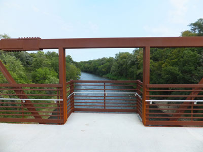
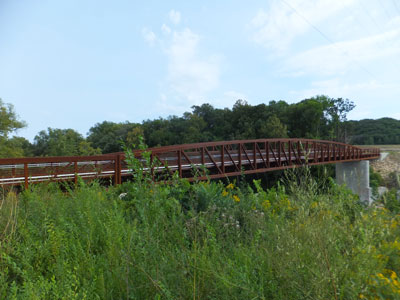
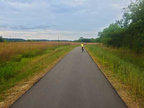
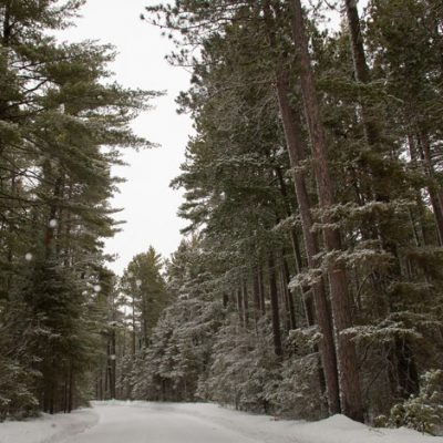
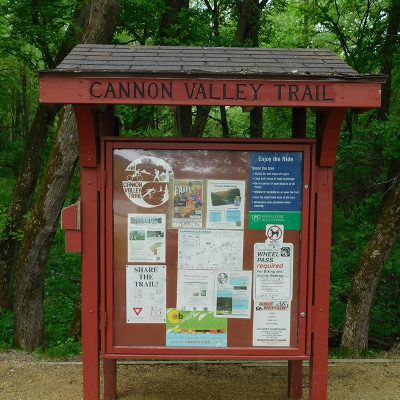
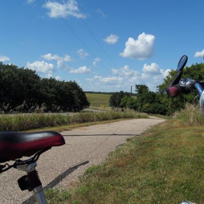
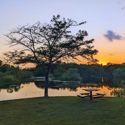
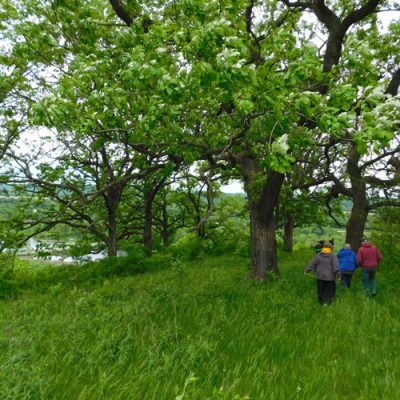
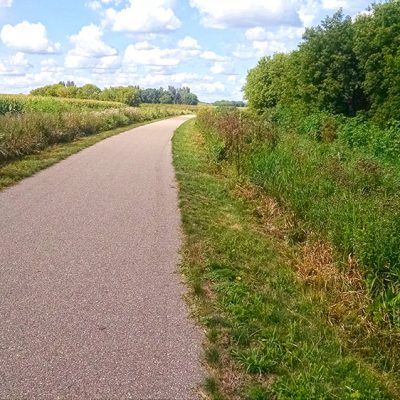
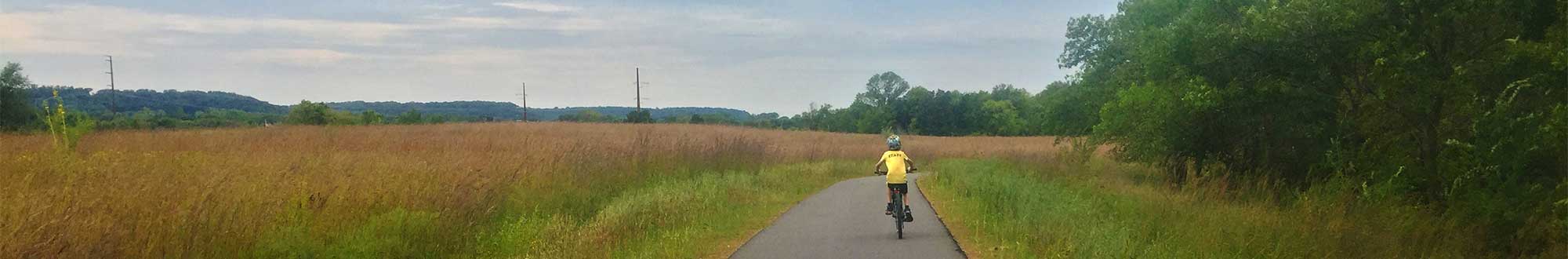
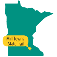
Mill Towns State Trail is a work in progress with three segments that are currently unconnected, totaling six miles. The trail segments all run parallel to the Cannon River and connect into the cities of Northfield, Dundas, and Cannon Falls. It will ultimately serve as a 25-mile connection between two other long-distance trails: Sakatah Singing Hills State Trail and Cannon Valley Trail.

The trail name comes from the many mills that were constructed on the Cannon River by white settlers in the late 19th century. The vision is for the trail to interpret the history of the flour milling industry that sprung up and fostered the growth of several cities in the region, which led to Minnesota being a major milling state in the early 20th century.

Our Work by the Numbers

1

LAND PROJECTS
undertaken by P&TC
for this trail

66

ACRES
of invaluable
land saved

0.5

MILES
of the trail saved by this project

$635,000

DOLLAR VALUE
of land at time
of acquisition

Trail Map Showing Project Site

Our Project Stories

Crossing the Cannon River, connecting two parks

View of Cannon River from bridge Mill Towns State Trail
Mill Towns State Trail - Byllesby Bridge
Bridge crossing the Cannon River near Lake Byllesby

Project Years: 2012-2013

Project Acres: 66 (0.5 miles)

Parks & Trails Council acquired the final piece of the puzzle to build the newest 2-mile segment of the state trail that runs from Cannon Falls to Lake Byllesby Regional Park. This land enabled the construction of a pedestrian bridge across the Cannon River, which provides the only connection between the two regional parks along the river.

Steve Hennessy, DNR trail planner, said this trail involved numerous partners, inclucing Dakota County, Goodhue County, city of Cannon Falls, Parks & Trails Council and the DNR. “Everyone really worked together to make the pieces fall into place.”

Half of the land was already in public ownership at the start of the route planning phase. The remaining private land was divided among three owners, which seemed like a manageable number—until all three declined the original offer to buy their land.

That’s when Parks & Trails Council stepped in to the negotiations, which evolved over several years of discussions. Ultimately, we acquired the land located adjacent to Goodhue County’s Lake Byllesby Park. This land was required for the bridge, which is designed according to ADA standards with a gentle slope down through the river blufflands.

This land had previously been farmed, and has been restored with oak savanna plants. Much of the two-mile segment is restored and managed landscape of oak savanna and prairie.

Project Partner

Related News Articles

Loading portfolio ...

Land Projects at Other Parks or Trails

Tour more of the land projects we've undertaken for parks and trails.

Related Projects