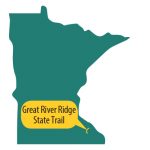
Great River Ridge State Trail
GREAT RIVER RIDGE STATE TRAIL
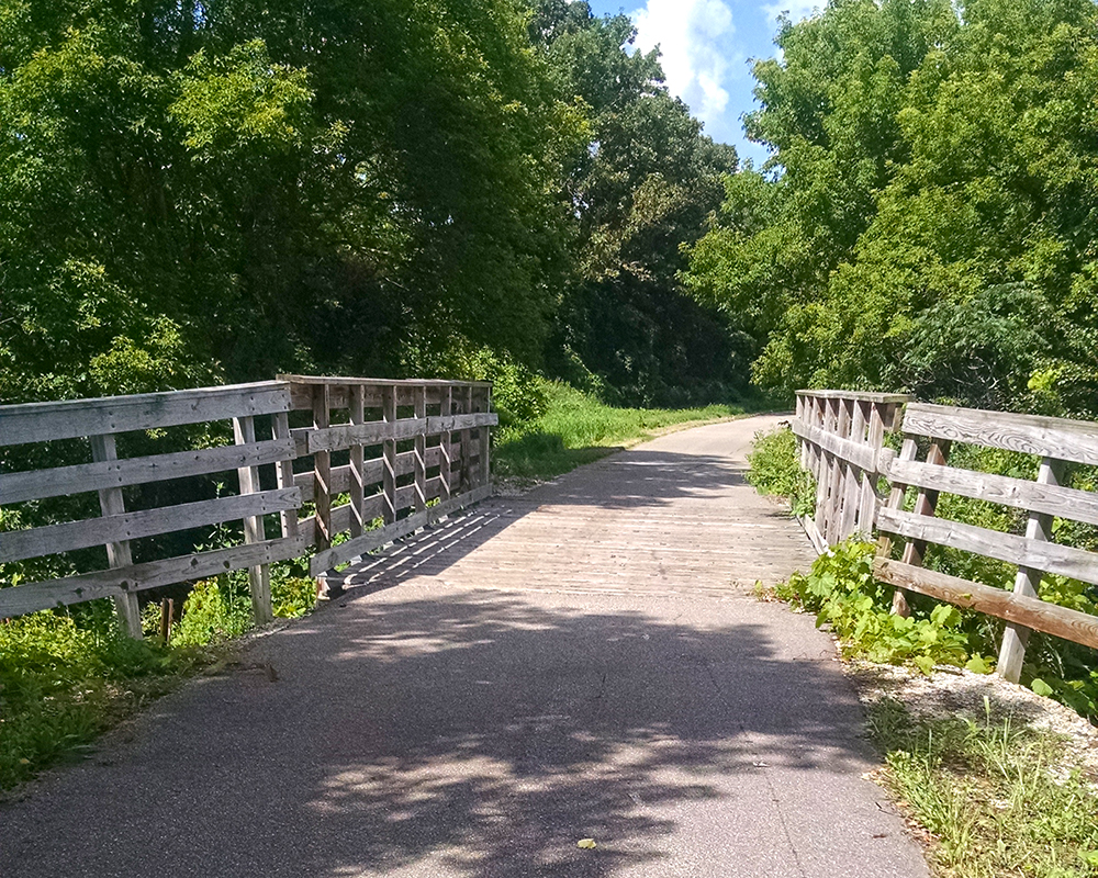
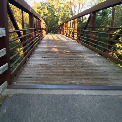
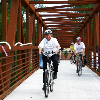
Bridge along the Great River Ridge State Trail
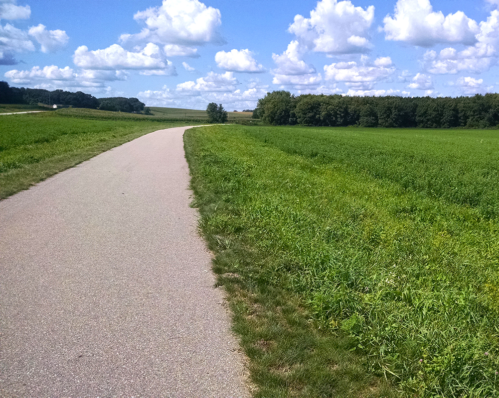
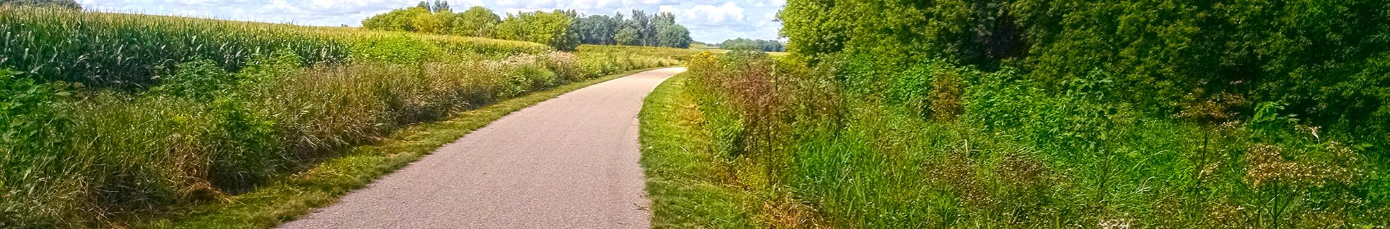
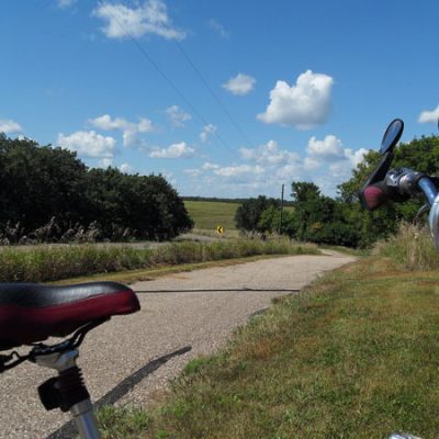
Great River Ridge State Trail passing by field
About the trail
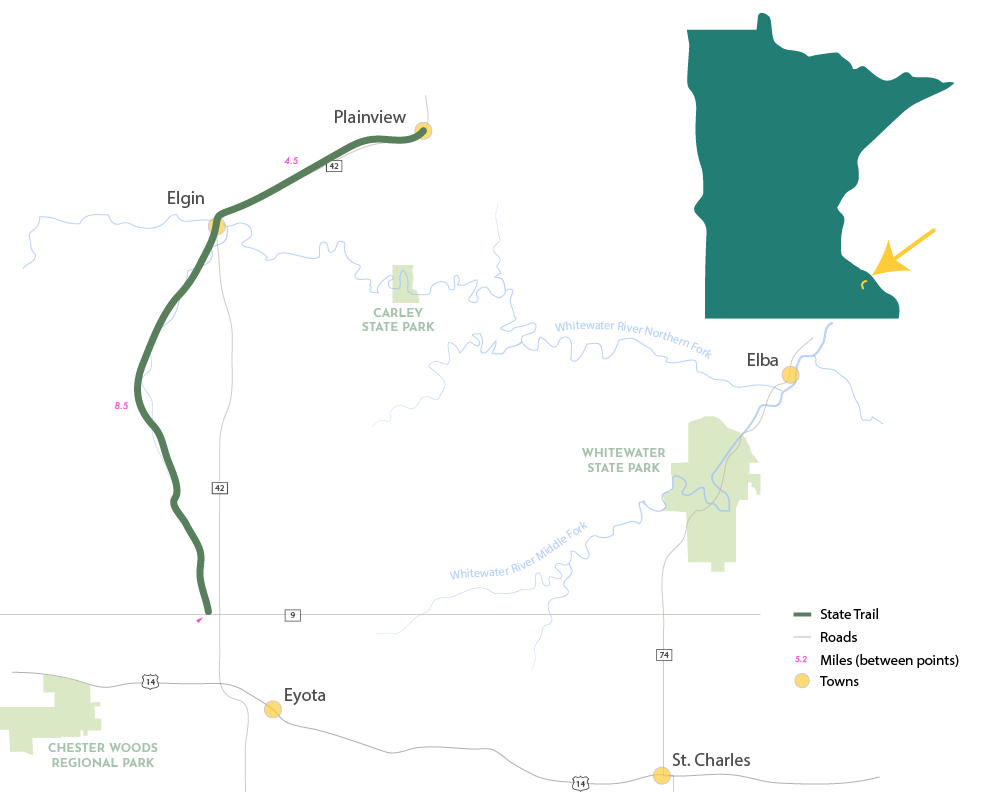
 This trail currently traverses 13 miles of agricultural and river valley landscape in southeastern Minnesota between the cities of Eyota and Plainview. The trail is near Whitewater and Carley state parks with the ultimate vision to one day connect to these parks as well as a network of trails in the region.
Built on a former railroad corridor, this paved trail offers easy bicycling through this scenic region of the state. A portion of the trail offers a parallel tread for horseback riding and snowmobiles.
Our Work by the Numbers
1
LAND PROJECTS
completed or
in progress here
18.2
ACRES
of invaluable
land saved
1.5
MILES
of trail saved
by these efforts
$106 T
DOLLAR VALUE
of land at time
of acquisition
Trail Map Showing Project Sites
Project Stories
Acquiring the final piece of the trail
YEAR ACQUIRED BY P&TC: 2018
YEAR CONVEYED TO TRAIL: 2022
ACRES: 18.2
MILES: 1.5
VALUE: $106,423 (at time of acquisition)
For years, local and state trail champions have been working to extend the Great River Ridge State Trail to its final destination in Eyota. On Sept. 11, P&TC made an important step toward that goal by purchasing the final mile-and-a-half of abandoned railroad corridor that runs from County Highway 9 to US Highway 14. P&TC held this land in trust until the MnDNR was in a position to purchase it on June 30, 2022.
Project Partner
Wabasha County Regional Rail Authority’s Management Committee
Related Posts
September 12, 2018
May 6, 2023