Leaves scattered across ground

Fort Snelling State Park

FORT SNELLING STATE PARK

Pike's island at Fort Snelling
Pike's island at Fort Snelling (by Brett Whaley)

About the park

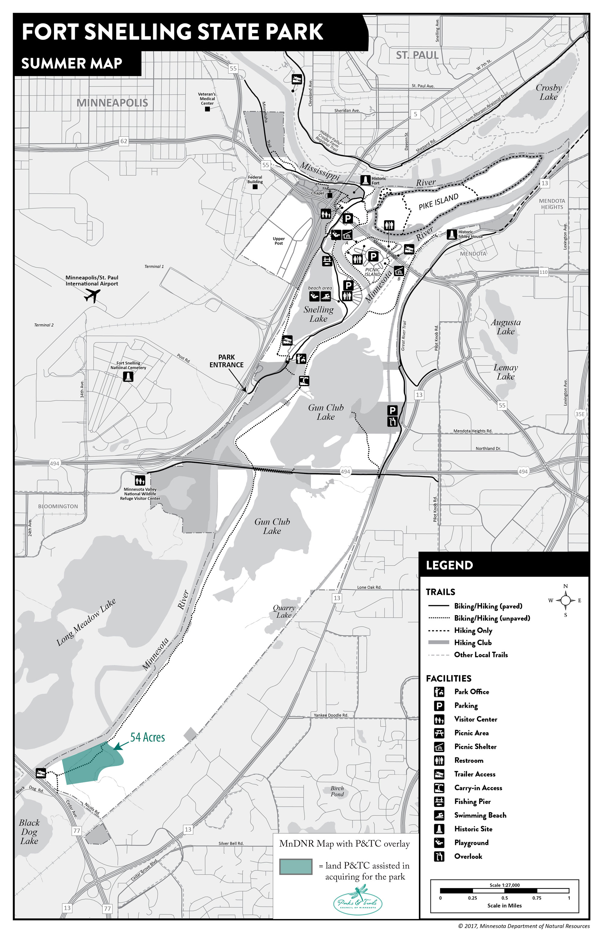
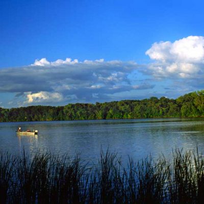
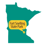
The two largest rivers in the state—Mississippi and Minnesota— converge in Fort Snelling State Park and form Pike Island where visitors can enjoy a hiking trail through the flood plain. This park protects both the ecology and historic significance of this unique place. Located adjacent to the international airport and sandwiched between busy highways, this park is also the most urban-influenced state park in Minnesota.

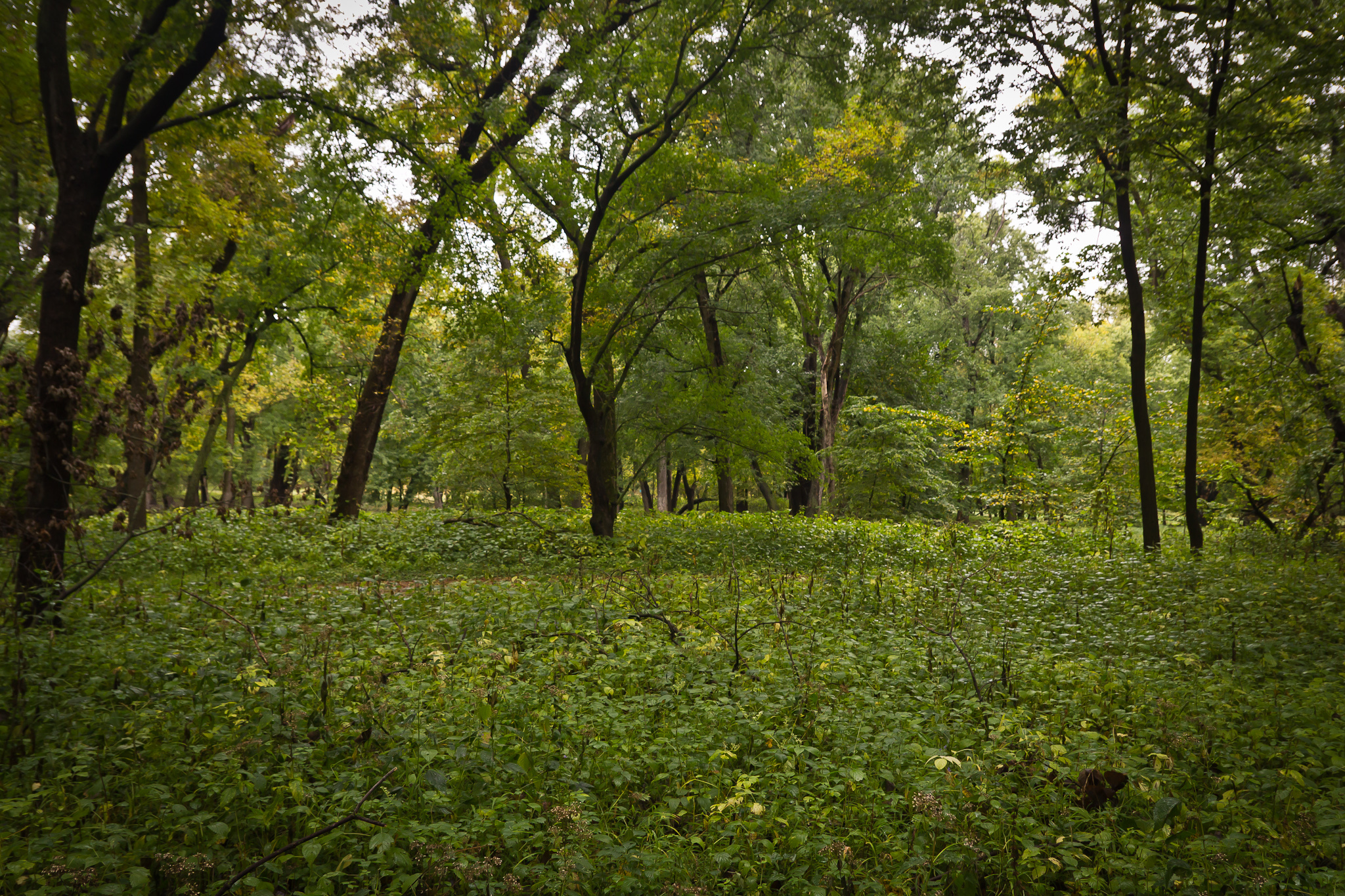
Most of the parks’ visitors make use of the northern part of the park with it’s looping hiking trails, swimming beach and visitor center. A whole other part of the park exists that visitors may want to make use of with its 6-mile trail along the Minnesota River. One of the best ways to access this trail is at the Historic Sibley House in Mendota.

Our Work by the Numbers

PROJECTS

1

undertaken by P&TC
for this park

ACRES

48

of land saved
for this park

YEAR

2020

when most recent
project was completed

DOLLARS

150 K

total value of
all land projects

Park Map Showing Project Sites

Map of Fort Snelling State Park showing project sites

Project Stories

Protecting a critical fen and a trail

Black Eyed Susan
Fort Snelling State Park by Lisa Olson

TIMELINE: 1991-1991

ACRES: 48.5

On the southern border of Fort Snelling State Park lies a highly significant fen known as the Nicholas Fen, which is a rare perched bog type of wetland plant community with endangered plant species. Parks & Trails Council acquired the 48.5 acres of private property bordering the fen to ensure its continued protection within the state park. This acquisition also enabled the park to build a hiking trail across the property and stretching down the Minnesota River.

The parcel had been used for a family farm but the owner was looking to sell and had recently sold another 40 acres across the river to the US Fish and Wildlife. There was significant interest from potential buyers with a variety of proposed uses such as an RV campground, fuel terminal, power plant site, grain terminal and more. Knowing that quick action was essential to save this land for the park, Parks & Trails Council purchased it while the DNR worked to secure the necessary funding and legislative approval.

Land Projects at Other Parks or Trails

Tour more of the land projects we’ve undertaken for parks and trails.

Related Projects